Bay Point Restoration and Public Access Project
January 2018
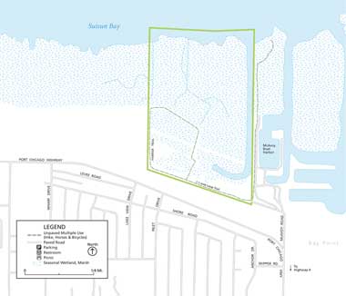
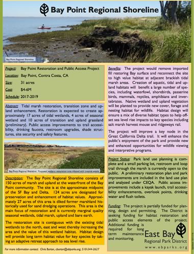
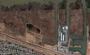
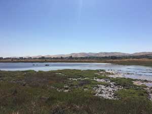
The Bay Point restoration project spans approximately 31 acres, much of which is diked former marshland, historically used for sand dredging operations and in its current state sits as marginal quality seasonal wetlands, tidal marsh, upland and in places, bare earth. Located at the approximate midpoint of the SF Bay and Delta, the restoration site is contiguous with existing tidal wetlands to the north, east and west and thereby will increase the overall size of wetland habitat in the area once completed (anticipated completion is sometime in 2019).
The main focus of the project is to develop self-sustaining ecological habitats along with upland retreat of high value habitat for special status species. It is anticipated that the restoration will result in roughly 17 acres of tidal wetlands, 4 acres of seasonal wetlands, and 10 acres of transition and upland grassland (preliminary). Along the way imported fill will be removed, the Bay surface will be restored, and the creation of aquatic, tidal and upland habitats will benefit a large number of species, including waterfowl, shorebirds, passerine birds, mammals, reptiles, amphibians and invertebrates.
Wildlife will not be the only beneficiaries of this project. While the restoration will significantly improve habitat and resiliency to sea level rise it will also enhance a key node in the Great California Delta trail. Bay Point Regional Shoreline consists of 150 acres of marsh and upland overall at the waterfront of the Bay Point community, home to 4,020 people who live within a half mile radius and where per capita income is estimated to be at $15,920 annually. A 2013 Contra Costa County Health Services report, (Health Indicators and Environmental Factors Relating to Obesity), shows that Bay Point residents have the fewest available parks in the Antioch, Pittsburg, Bay Point region. Public access to tidal marsh areas along a 20 mile stretch of shoreline - from Martinez (Waterbird Regional Preserve) to Oakley (Big Break Regional Shoreline), is extremely limited. The public access component of the project will focus on developing recreational facilities that are compatible with restored habitats and that require a minimum level of maintenance.
To date, park land use planning is complete and a small parking lot, restroom and loop trail through the marsh is currently open to the public. An updated restoration plan has been completed and environmental effects analyzed under CEQA. The project is partially funded for planning, design and permitting however, the District is seeking funding for habitat restoration and public access elements as well as long term maintenance and monitoring.
Learn more about the status and funding of this project here [1 MB PDF] or in our Project Tracker on EcoAtlas or contact Chris Barton, Environmental Programs Manager, East Bay Regional Park District or 510-544-2627
