Novato Watershed Program
August 2016
The Novato Watershed Program aims to provide a system-wide analysis of flood protection options and identify specific opportunities to integrate flood protection goals with creek and wetland restoration elements. This process includes evaluating alternatives that would reduce flood protection maintenance costs and impacts while also taking into consideration resiliency to sea level rise.
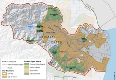
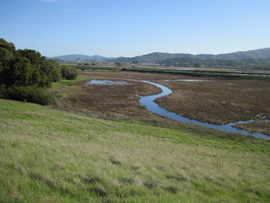
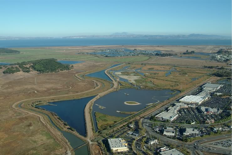
The Novato Creek watershed drains 45 square miles from its headwaters above Stafford Lake, encompassing the western open ridgelines, suburban valleys, and an expansive leveed bayland adjacent to San Pablo Bay. Novato has experienced 12 major floods in the past 90 years, affecting residents, businesses, emergency response, transportation networks, and the overall economic vitality of the community.
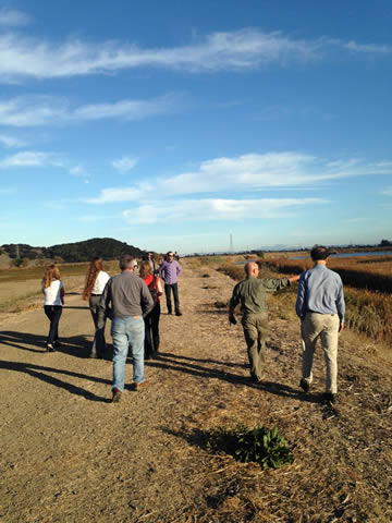
The Novato Watershed Program brought together our partners, Marin County, City of Novato, Novato Sanitary District, North Marin Water District, and the Flood Control Zone No. 1 Advisory Board, to integrate needs and solutions to create thoughtful, science-based, and community-supported projects that are looked upon favorably by grant funding and permitting agencies.
Lower Novato Creek is one of three focus areas for Flood Control 2.0, an ambitious regional effort funded by the US EPA San Francisco Bay Water Quality Improvement Fund. The project aims to reduce flood risk while helping restore stream and wetland habitats, improving water quality, and adapting to sea level rise around San Francisco Bay. The program provided historical ecology of lower Novato Creek and long-term visioning for designing systems to work with natural processes.
The Novato Watershed Program’s webpage describes its major deliverables, findings, and recommended actions. Both short term and long term project concepts were identified. The watershed-wide, unified hydrology and hydraulic model was used to identify the most beneficial and feasible project types recommended over the next 6-10 years to:
- Improve flood protection to 50-yr storm event
- Reduce dredging costs and associated impacts
- Utilize and support natural processes to improve sediment management
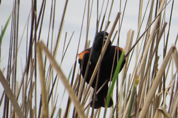
- Protect and enhance habitat for steelhead trout and Ridgway’s rails
- Adapt to climate change and sea level rise
You also can learn more about the project by listening to our podcast here.
The North Deer Island Basin detention and overflow weir will move to design this summer with funding from a U.S. EPA Flood Control 2.0 grant and Flood Control Zone No. 1. Construction, due to be completed in 2019, is being funded by IRWMP and Flood Control Zone No. 1. Senior Watershed Planner Laurie Williams and others at the county are working with agency partners and community members to explore a possible revenue measure in 2017 to help fund other high-priority projects.
